+52 614 242 80 05
Experience the Magic of Nevado de Toluca at 15,390 ft (4,690 m)
Embark on an unforgettable journey to Mexico's fourth highest peak. Circle stunning twin alpine lakes within an ancient volcanic crater, traverse dramatic 'Mordor-like' landscapes, and challenge yourself on a perfectly crafted day adventure. Just 2.5 hours from Mexico City, Nevado de Toluca offers world-class mountain scenery and the perfect blend of challenge and accessibility.
Nevado de Toluca Story
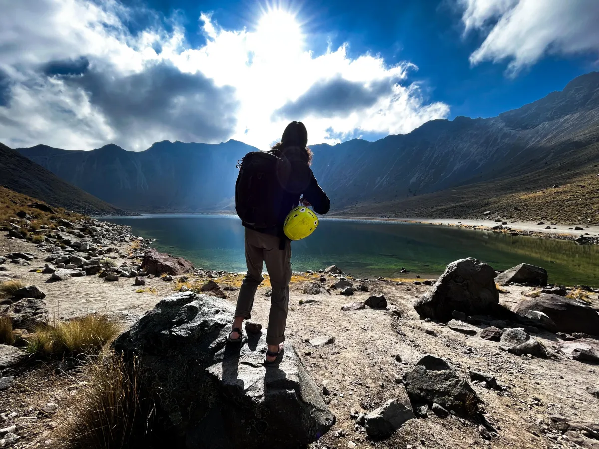
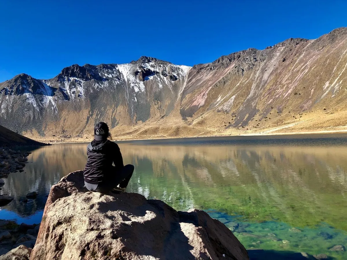
Nevado de Toluca (Xinantécatl in Nahuatl) is one of Mexico's most fascinating volcanoes, reaching an impressive height of 15,390 ft (4,690 m). As Mexico's fourth highest peak, it features a breathtaking crater that houses two beautiful alpine lakes: the Sun Lake (Lago del Sol) and the Moon Lake (Lago de la Luna). Ancient civilizations considered this mountain sacred, and looking at its majestic profile, it's easy to understand why.
The mountain you see today took its current form after its last major eruption about 10,500 years ago, which created the distinctive dome known as "El Ombligo" within its crater. This long volcanic history has shaped the dramatic landscapes you can explore today - from the rocky peaks to the pristine alpine lakes.
Now part of the Nevado de Toluca National Park, the mountain is home to unique high-altitude plants and animals, including the rare teporingo (volcano rabbit). On clear days, hikers can enjoy spectacular views of the surrounding valleys and even spot neighboring volcanoes in the distance.
ROUTES
Discover the Paths to the Summit

Ruta del Oso (Bear's Ridge Route)
⭐⭐ (Moderate)
📏 Distance: 6.2 miles (10 km)
⬆️ Elevation Gain: 3,280 ft (1,000 m)
⏱️ Duration: 8 hours (5 up, 3 down)
🏔️ Starting Altitude: 12,140 ft (3,700 m)
Starting at 12,140 ft (3,700 m), this route offers a more gradual acclimatization through beautiful conifer forests.
After emerging from the treeline, you'll follow the Bear's Ridge toward the summit. Though the ridge appears sharp from below, it's more approachable than it looks.
The route is ideal for those seeking a balanced challenge, combining forest trails with high-altitude ridge walking.
Ruta Arenal (Normal Route)
⭐ (Beginner-Friendly)
📏 Distance: 8 km (2.5 miles)
⬆️ Elevation Gain: 1,770 ft (540 m)
⏱️ Duration: 7 hours (4 up, 3 down)
🏔️ Starting Altitude: 13,120 ft (4,000 m)
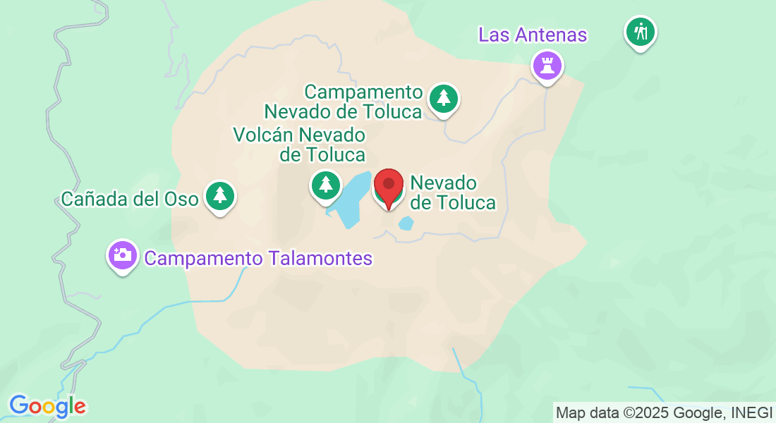
Starting from "La Pluma" parking lot at around 13,120 ft (4,000 m), this is the perfect route for those beginning their high-altitude hiking journey. After an easy 800-meter walk, you'll reach the crater rim where a breathtaking panorama awaits - the massive crater spanning over two kilometers, with the stunning Sun and Moon Lakes reflecting the colorful slopes of Xinantécatl.
The route continues with a pleasant two-kilometer walk, descending into the crater and ascending a moderate sandy slope to reach 14,435 ft (4,400 m). The final section includes some light scrambling along the crater rim, offering spectacular views, before reaching the Pico del Fraile summit at 15,387 ft (4,680 m).
The descent follows the same route back to the parking lot.
Campanario Route
⭐⭐⭐ (Technical)
📏 Distance: 8 km (2.5 miles)
⬆️ Elevation Gain: 1,770 ft (540 m)
⏱️ Duration: 7 hours (4 up, 3 down)
🏔️ Starting Altitude: 13,120 ft (4,000 m)
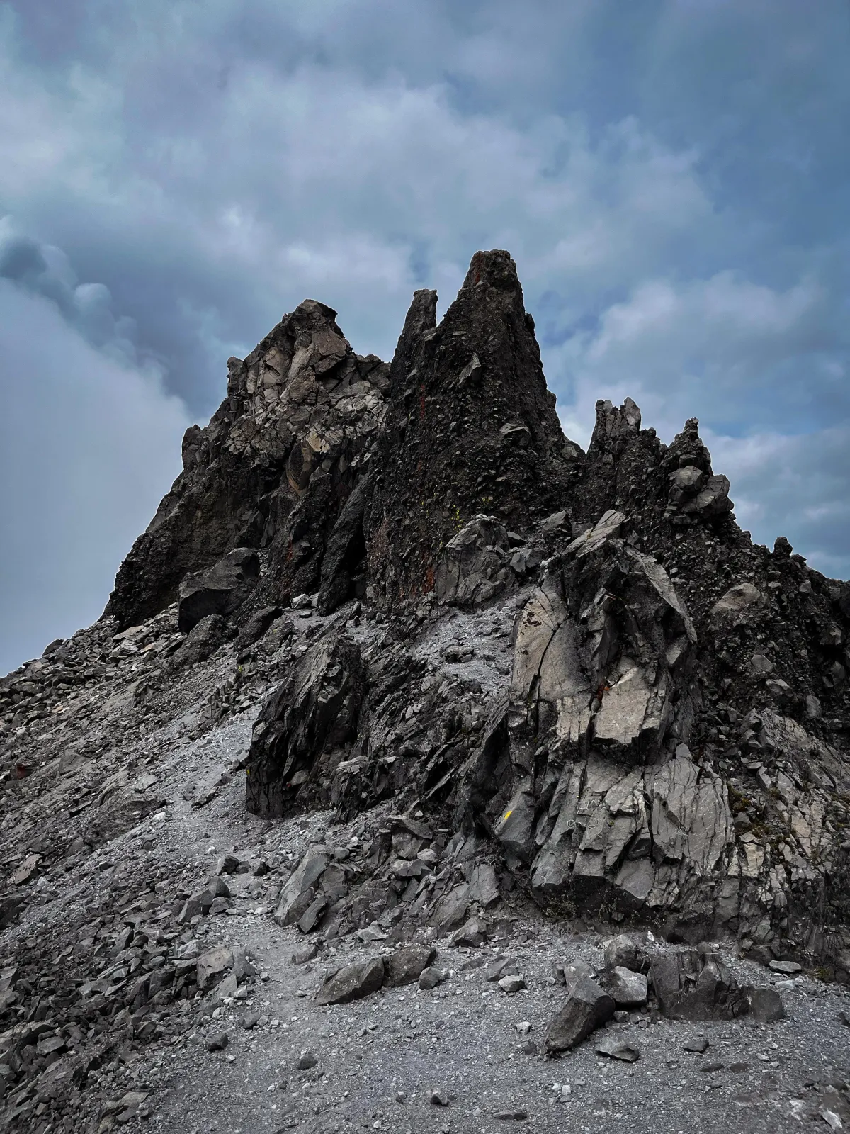
Starting from "La Pluma" parking lot, this technical route takes a different approach, heading left towards Moon Lake (Laguna de la Luna). The adventure begins as you ascend to reach a rocky ridge that demands careful navigation and occasional use of your hands for scrambling.
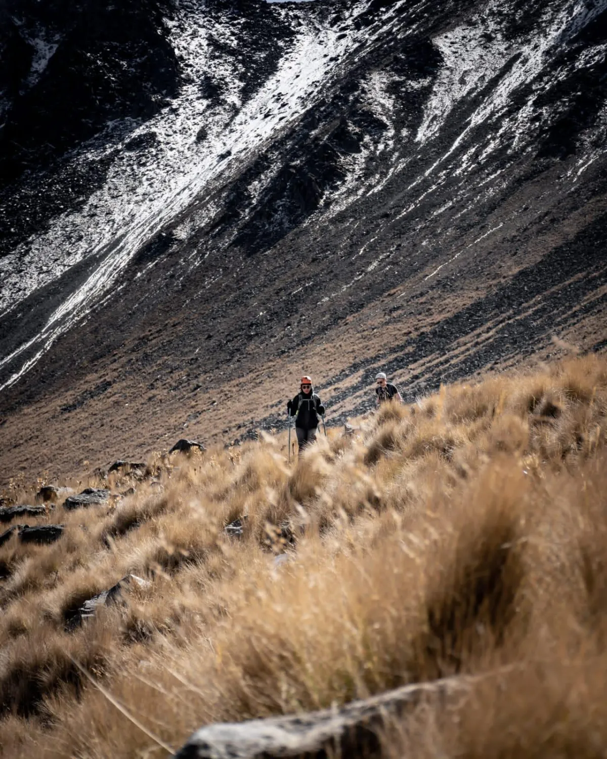
Following this dramatic ridgeline, you'll traverse what many describe as "Mordor-like" terrain, with dark volcanic rocks creating an otherworldly landscape. This section offers unique perspectives of both alpine lakes and requires some basic climbing movements.
The final push leads to Pico del Fraile summit at 15,387 ft (4,680 m). The descent follows the normal route down the sandy slope (arenal), passing alongside Sun Lake (Laguna del Sol) on the return to the parking lot.
ESSENTIAL INFORMATION
Before Your Nevado de Toluca Adventure
🌡️ Weather Window
Temperatures range from 0°C to 15°C (32°F to 59°F)
Best climbing season: November to March
Early morning starts recommended (6:00 AM, to leave from Mexico City)
Snow possible during winter months
Weather can change rapidly; check forecast before going
High UV exposure due to altitude
Afternoon storms common in summer
🎒 Required Equipment
Waterproof hiking boots and appropriate clothing
Layers (base layer, insulating layer, shell)
Warm hat and gloves
Minimum 2L of water
High-energy snacks
Sunscreen and sunglasses (polarized recommended)
Daypack with rain cover
Trekking poles recommended
⚕️ Health & Safety
Recommended acclimatization: 1-2 days in Mexico City
Starting altitude: 13,120 ft (4,000 m)
Summit altitude: 15,390 ft (4,690 m)
Moderate fitness level required
Stay hydrated: drink water frequently
Watch for altitude symptoms (headache, dizziness, nausea)
Tell your guide if you feel unwell
No technical climbing experience required
Frequently Asked Questions
When is Nevado de Toluca accessible?
The mountain is accessible year-round, with the most stable weather conditions from November to March. During weekends and holidays, access to the second parking lot ("La Pluma") might be restricted.
What are the main routes to the summit?
There are three main routes to reach Pico del Fraile (4,690 m): Arenal Route through the main crater, Ruta del Oso along Bear's Ridge, and Campanario Route following the rocky ridgeline.
Do I need a guide to climb Nevado de Toluca?
While not mandatory, a professional guide is highly recommended for safety, especially for first-time visitors and those new to high-altitude hiking. Several certified guide services operate in the area.
Are there facilities at the mountain?
Basic facilities are available at the first parking lot. Beyond that point, there are no services, so climbers should be self-sufficient with water and supplies.
What permits are needed?
The mountain is part of the Nevado de Toluca National Park, and an entrance fee is required. Permits can be obtained at the park entrance.
Can I camp at Nevado de Toluca?
Yes, camping is possible in designated areas. However, most visitors complete the climb as a day trip due to the relatively short distance from Mexico City.
MOUNTAIN VIEWS
